
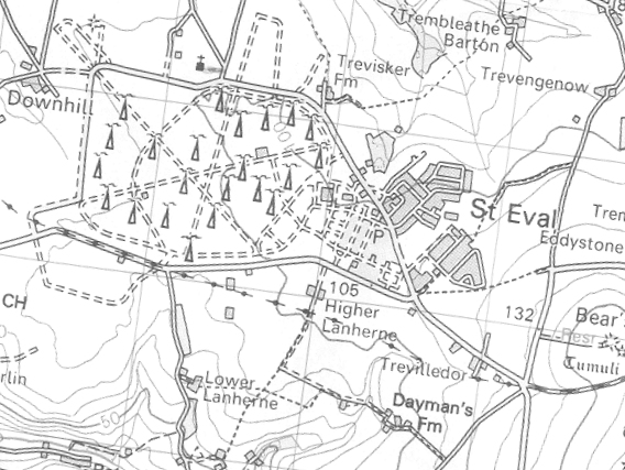
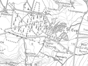
St Eval on the 1997 Ordnance Survey map.
The map is oriented similarly to the photo, making comparison easy.
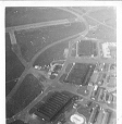
The site is now a comms station but 203sqn hangar remains and is
shown on the map, lying very slightly above the centre of the map.
26 Runway runs from north of the hangar towards the WSW.
For comparison see pictures below.


 Return